For residents of the east valley, the Beeline Highway is an important part of daily life, the gateway to the Mogollon Rim. It’s the only modern highway that connects to Fountain Hills.
The official name of the road is State Route 87, so you might wonder: why is it called “The Beeline Highway?”
History of Travel from Rim to Valley
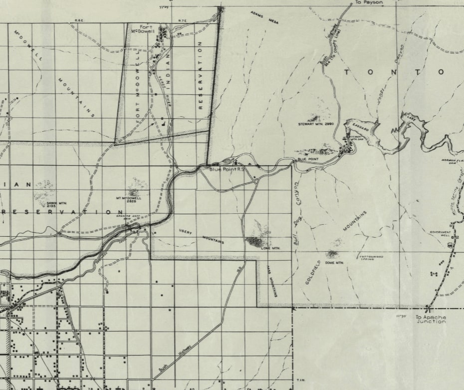
You can see
in this 1937 map that the Bush Highway follows its modern route. This is 21 years before the Beeline Highway. You can also see that the only trail that passes through modern Fountain Hills is likely the
Stoneman Road.
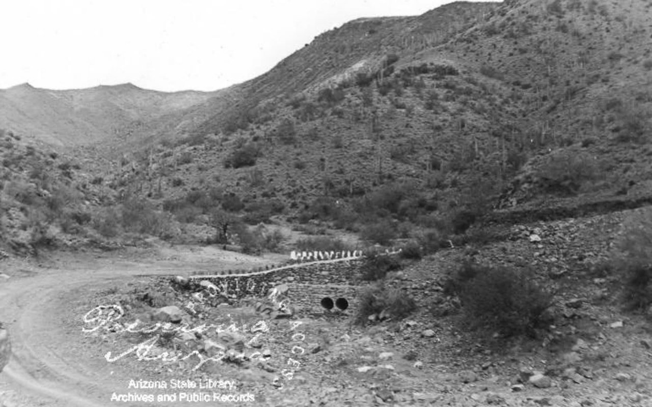
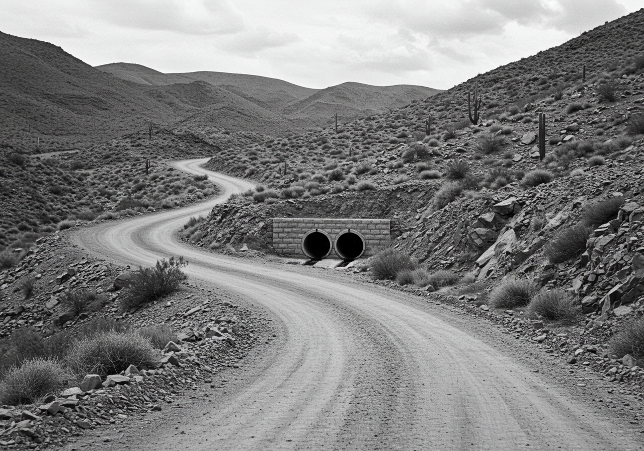
The first major car route between Mesa and Payson was the Bush Highway, named after Harvey Granville Bush. He was a lumberman by trade, and thus had homes in Mesa and Payson, where the tall pines grow.
Getting lumber to the Valley from the mountains was a huge challenge during the days of wagons and early automobiles, involving several disjointed trails that went through the dangerous Reno Pass. So, Bush pushed an initiative with the state and the lumber industry to create a unified road from the city to Payson. Completed in 1934, the path, named after Bush, was the best and most convenient route to get to and from the Mogollon Rim.
As Phoenix’s population boomed after World War 2, camping became a larger and larger pastime, and the traffic up the Bush Highway increased drastically. This came to the attention of Grady Gammage, president of Arizona State Teachers College in Tempe. Gammage lobbied the state government and worked with James G. Hart of the Maricopa County Board of Supervisors to begin the creation of an official State Route to access and pass Payson.
After receiving permission from the Salt River Indian Reservation and Fort McDowell Indian Reservation,
construction began.
A new, more convenient route was then built west of the Bush Highway. It was a significant shortcut for most Phoenix residents, considering it connected to West Mesa on Country Club Drive instead of all the way in Apache Junction.
The shortcut was so obvious, that it was considered “
taking a bee-line” up to the Rim, with the term “bee-line” being a slang term referring to a shortcut.
While the Bush Highway passes through scenic and mountainous terrain, the Beeline shortcut cuts distance and time and travels along mostly smooth ground.
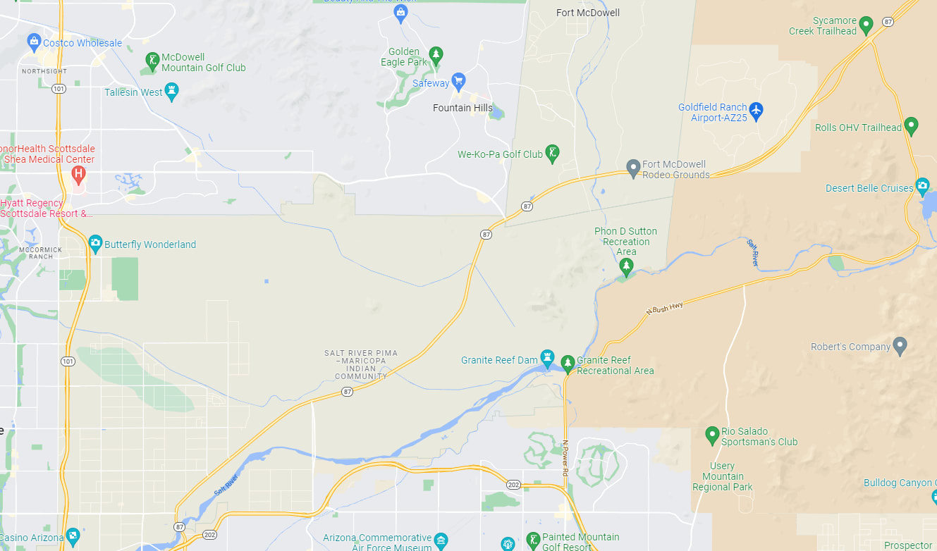
From then on, the Beeline Highway was paved and expanded on top of, and sometimes next to, the old Bush Highway. The original “bee-line” shortcut ends where the modern Bush Highway meets the Beeline, just north of Goldfield Ranch. You can still see the original route along the modern Beeline to this day, all the way to Payson.
The Beeline Highway as we know it today was fully realized in 1966, with the merging of the old State Route 65 (which connected Winslow to Strawberry) and the ever-expanding path of Route 87.